|
2020: California Fires Map Initiative
With wildfires constantly harming wildlife and communities throughout California, members of the Mason Mappers team are coming together to develop geospatial solutions towards the spread of these fires. Using lidar imagery analysis, the team will track where these fires are likely to spread to and see if there are ways to cease their devastating effect on the land. |
|
|
2019 - 2020: Geospatial Science Careers in Northern Virginia
Students often ask the question of what careers can be achieved through geography. And now those questions can be answered! Mason Mappers collected data on job sectors hiring individuals with geospatial knowledge and developed the cartographic design for the Geographic and Geoinformation Science (GGS) Department's Careers Map. Explore our web map app to learn more about the job sectors on the look out for talent like yours! See our print version below. 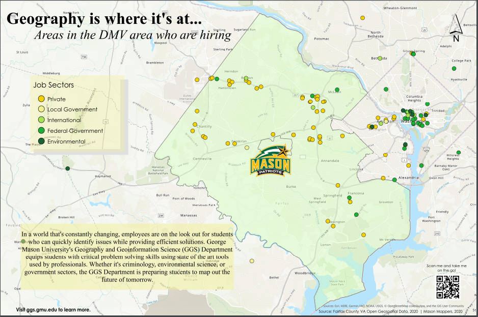
|
|
|
2019-2020: 100th Anniversary Map of Arlington County
Arlington County is celebrating it's 100th anniversary in 2020. What better way to commemorate a historic event with a story map! Mason Mappers collaborated with the Arlington Historical Society to compile a map of Arlington County's most historic landmarks. The Mason Mappers team then designed an interactive story map for viewers to see all of the mystery and wonder that is a part of the county's history. |
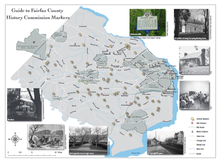
2016: 275th Anniversary Map of Fairfax County, VA
Working with the Fairfax County Historic Commission, Mason
Mappers digitized the location of the county's historic markers.
Together, the team outlined and designed the layout of the map.
This project received an award from the county for the team's
outstanding achievement. See the full map here!
Working with the Fairfax County Historic Commission, Mason
Mappers digitized the location of the county's historic markers.
Together, the team outlined and designed the layout of the map.
This project received an award from the county for the team's
outstanding achievement. See the full map here!
